Camping at Stillwater Campground, Granby, CO

This was our first camping experience in Colorado. We headed to Granby, CO, nestled in the majestic Rocky Mountain Valley at an elevation of 7,935 ft, surrounded by Rocky Mountain National Park with breathtaking views of the Continental Divide.

Stillwater campground is part of the Arapaho National Recreation Area and is the largest campground on the Arapaho & Roosevelt National Forests. The sites can be reserved on recreation.gov.


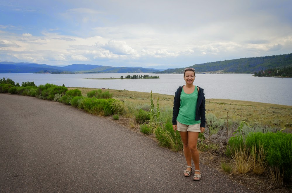
The campground is located next to Lake Granby, the largest reservoir in the Arapaho National Recreation Area and the third largest body of water in Colorado.


We got very lucky because our tent site was on the top of the hill facing the lake. The views were magnificent. 


There are currently no trees at the campground as they were cut down due to pine beetle infestation. New trees have been planted though. We were concerned not to have any shade but it was not an issue. The big plus is that nothing obstracts amazing views of the mountains and the lake. 


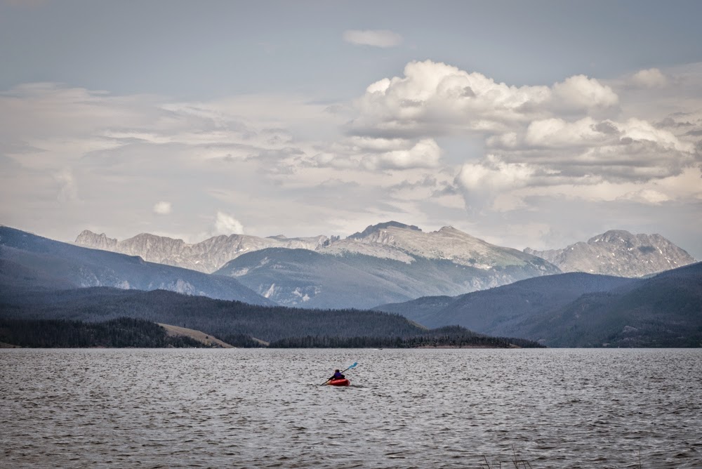
I miss our kayak in St. Thomas

Firewood for sale


We bought all new camping equipment and could not wait to test them all. 

New tent
New cookware
New chairs
New lantern
Here are some pictures taken at the sunset.


Other blogs I enjoyed reading:

North Table Mountain Park, Golden, CO

North Table Mountain is a mesa located just northeast of downtown Golden, Colorado. It is a popular scenic and recreational destination of the Denver metro area. [1]

There are two loops on the mesa, and a couple of other side trails for a total 7+ miles of hiking and biking paths. 


North Table Mountain Trail is 1.5 miles and traverses the southwest side of North Table Mountain below the cliff band. There are excellent views of the Golden Valley. 

Golden Valley


Rabbit Ears Peak near Steamboat Springs, CO

For the July 4th weekend we headed to the mountains. We stayed in Steamboat Springs which is a popular travel destination both in winter and in summer. The first day we visited hot natural springs. The second day we decided to go for a hike. Rabbit Ears Peak was one of the first recommended hikes we found on the Internet. 

On the top of the hill
The name comes from the remnants of old volcanic plug that is seen from far away. It has been used as a landmark since the first pioneers entered the area. The peak has guided many to the Yampa river valley over the years. [1]

Rabbit Ears Pass is located on Routt National Forest and approximately 20 minutes drive east from Steamboat Springs. It was on the way to Denver so we decided to go for it.  It is pretty easy to find it. Just turn left at the Dumont Lake sign and proceed on National Forest Road 315. Follow this road for about 1.5 miles until you come to the old stone monument on your left.


The hike starts out at the elevation of 9,426 feet and reaches an elevation of 10,000 feet. The trail is about 3 miles long each way. In the beginning the incline is very moderate. 


This trail used to be an old jeep road and we actually saw a few jeeps there. 


Eventually, the trail gets very steep but once you get to the top, you are rewarded with the panoramic views. 


This is a really good wildflower hike. According to other websites, July is the time to visit this particular trail.